Tungurahua Volcano Geopark | Geoconservation, Geoeducation and Geotourism
Emblematic proposal focused on locally based Geoconservation, Geoeducation and Geotourism.
Emblematic proposal focused on locally based Geoconservation, Geoeducation and Geotourism.
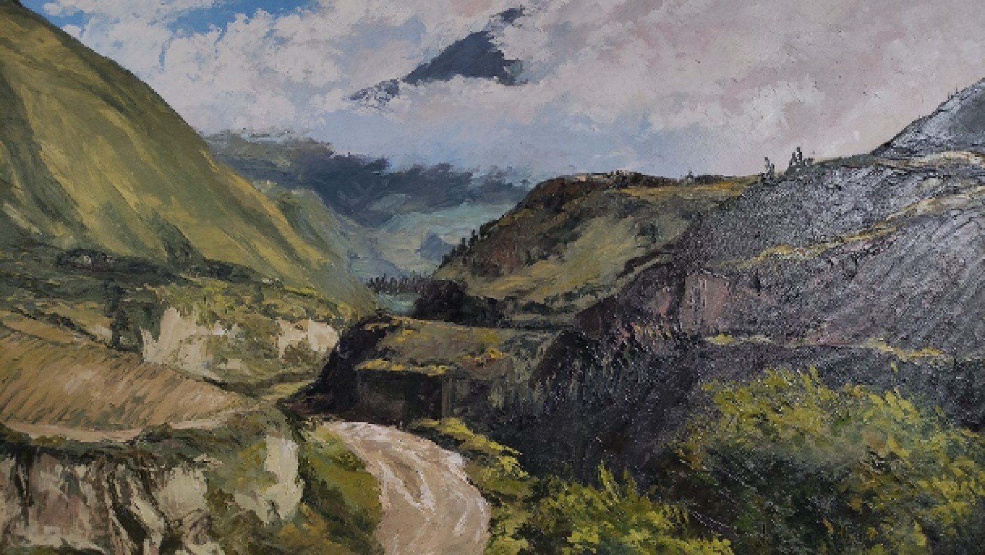
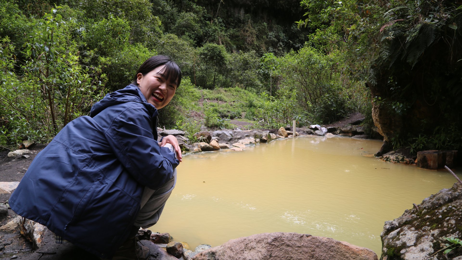
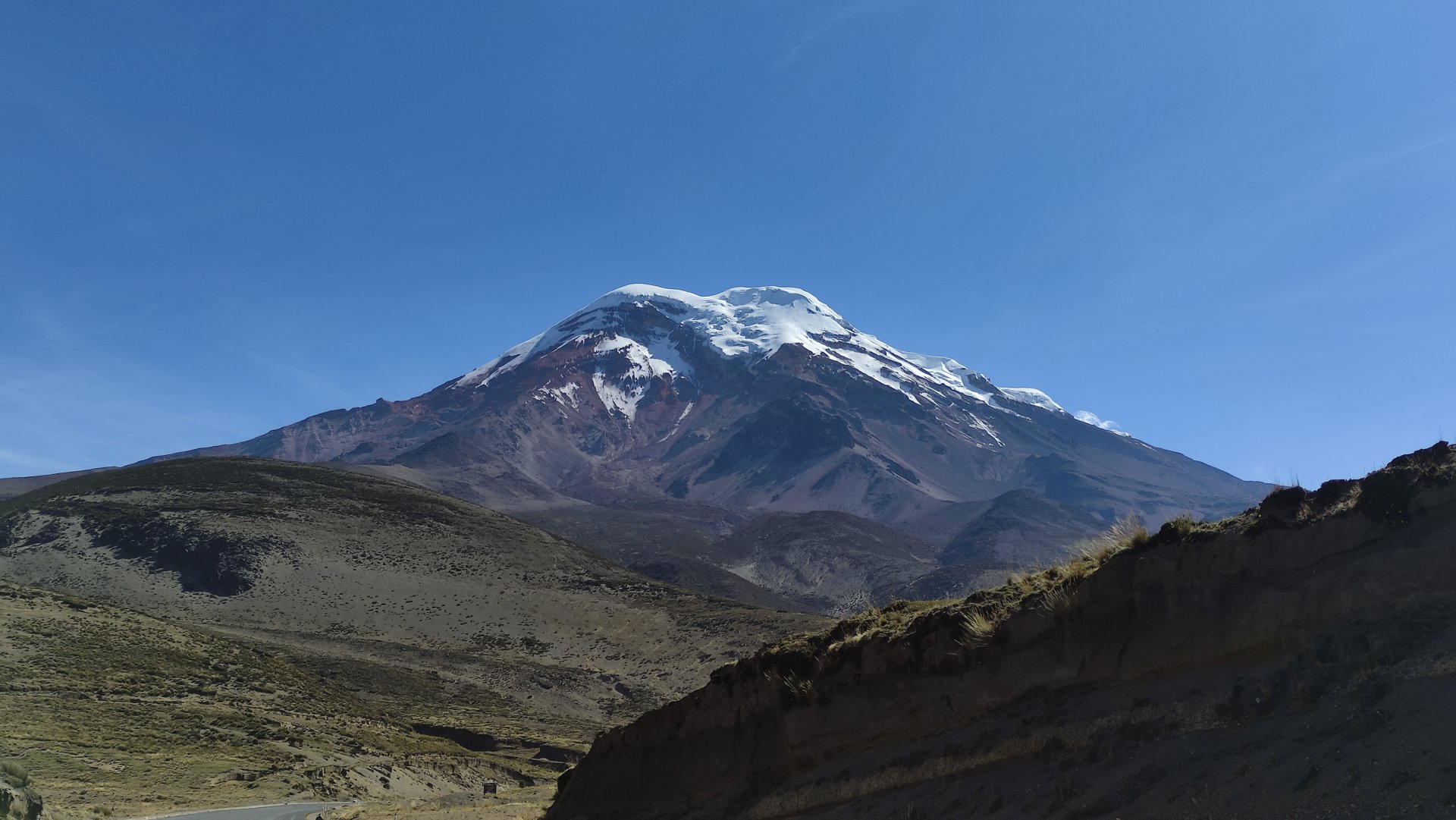
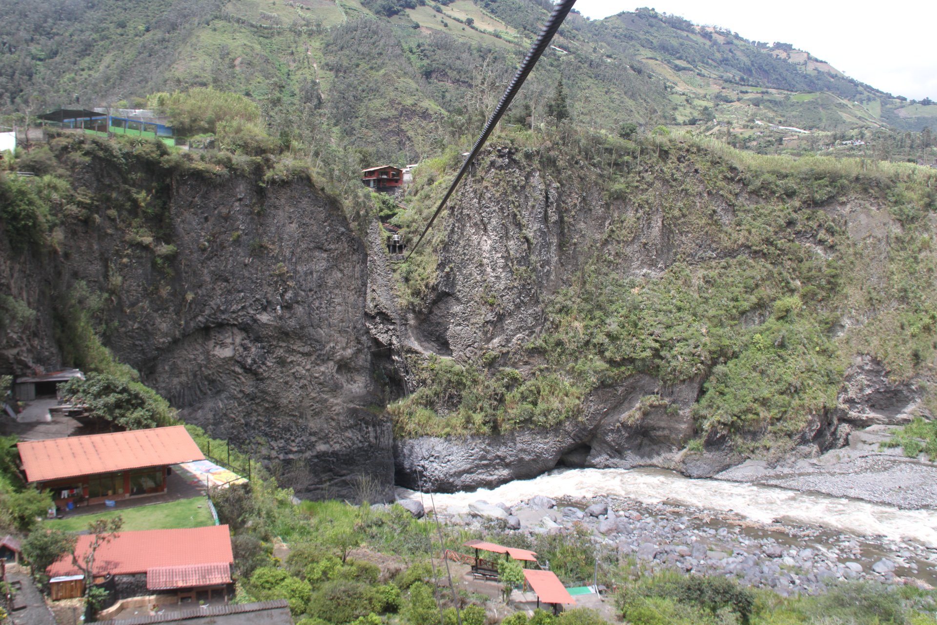
It is a geographical space in which various ecosystem services and natural phenomena interact that are part of the Geodiversity of the region in cohesion with anthropic, historical and cultural activities. Located in the center of Ecuador, it is part of the Western and Royal Cordillera of the Andes, housing diverse ecosystems and biodiversity that together with the Geological Heritage represented by mountain formations, volcanoes, lagoons, rivers, landscapes, geomorphological features and relief forms They allow us to know, study and interpret the origin and evolution of the Earth, the processes that have shaped it, the climates of the past and present, as well as the origin and evolution of life.
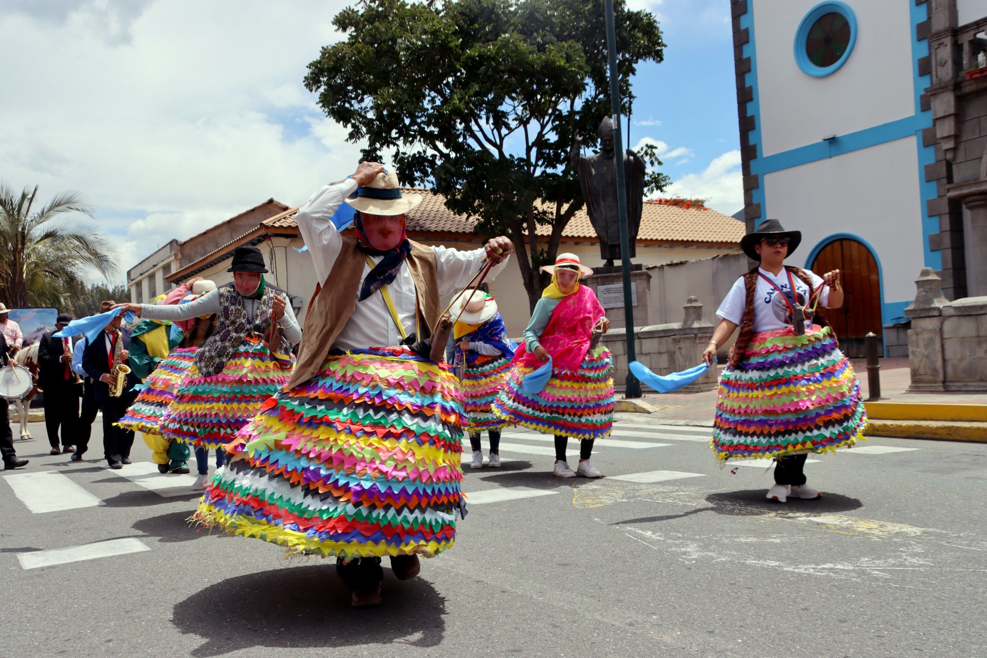
The Tungurahua Volcano Geopark focuses its activities on Geoconservation, which, articulated with the Intangible Heritage of the territory, promotes scientific research actions to promote Geoeducation with the active participation of the local population, who through bioenterprises and geoproducts promote Geotourism by contributing to economic growth for Sustainable Development of the territory.
Framed in the Sustainable Development Goals, it articulates its activities to contribute to the Global Agenda with gender approaches, quality education, decent work and economic growth, contributing to the growth of sustainable cities and communities through responsible production and consumption, action for the climate, conservation and life of ecosystems, in addition to the generation of alliances to achieve objectives.
Likewise, taking into account guidelines and guidelines proposed in the Sendai Framework, the Governance level of the Tungurahua Volcano Geopark considers in its activities priority spheres for Disaster Risk Management focused on understanding, strengthening and contributions to increase preparedness. in cases of disasters, in order to provide an effective response in the areas of recovery, rehabilitation and reconstruction that at local and regional levels increase resilience.
Its level of Governance includes the Provincial Decentralized Autonomous Governments of Tungurahua, Chimborazo and the Municipal Governments of Baños, Patate, Pelileo, Penipe and Guano. Its geographical area covers 2,397 km2 in which the protected areas of the Llanganates National Park, Sangay National Park, Chimborazo, Zuñag and La Candelaria Fauna Production Reserve are immersed, in addition to the sections of the hydrographic basins of the Patate and Chambo rivers. and Pasta.
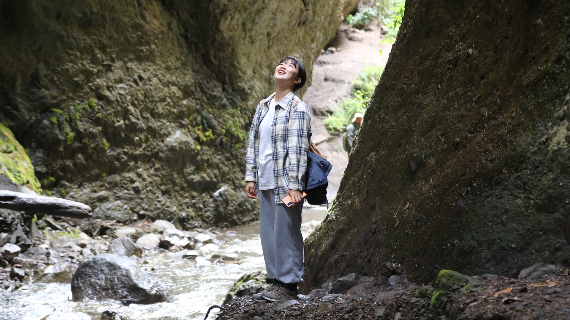
Come and visit the Tungurahua Volcano Geopark, discover a vast Geological Heritage, magical Geosites and learn about the evolutionary processes of the Earth, geomorphological features, rock formation, fossils, soils and surface deposits that make up a set of natural resources of high value scientific, cultural and educational, promoting sustainable development in the environmental, socio-cultural and economic axes of the local community.
Emblematic proposal focused on locally based Geoconservation, Geoeducation and Geotourism.